

- /
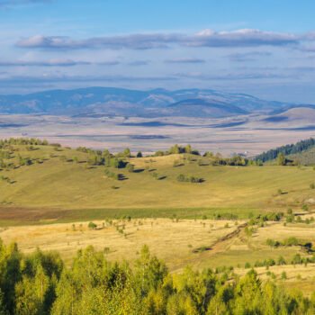
- Katun Road Pešter Pastures
- /
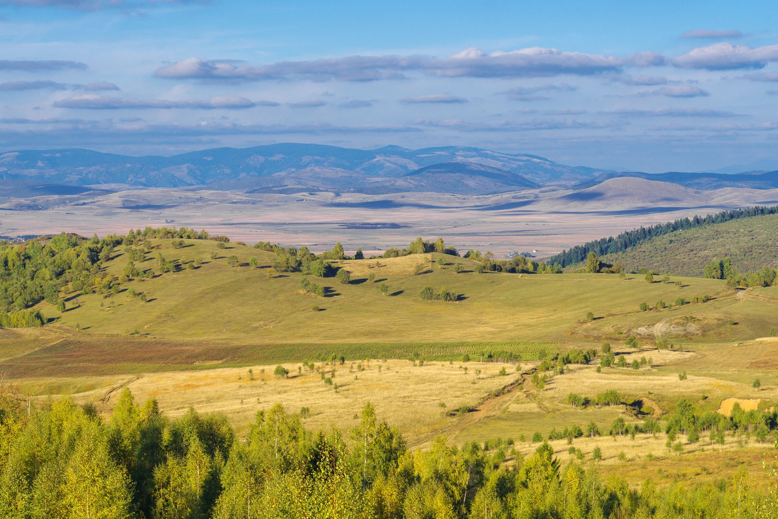
- Mountains
Mountains


Hajla
While you cruise through Pešter, Hajla mountain, one of the most attractive in the region, will often be in sight. It is situated on the border between Montenegro and Kosovo. It often played the role of a border guard in the past, too. However, it has also been a link between the two natural units, as well as between people, since its creation. Hajla belongs to the northern part of Prokletije range, it is its highest summit, in fact. It is bordered on the west by the Bogska river, on the south by the powerful Pećka Bistrica, which runs through the stunning Rugova gorge. It’s down the gorge that Hajla slopes descend, bringing more tributaries to Bistrica. The most important one is, as it is said, the Alagina River.
Hajla is built of limestone and volcanic silicates, which caused variety of relief, it is rugged with different shapes. Rocky ridges, scenic passes, ravines, valleys, highlands, grassy slopes, forests, streams are still pretty unfamiliar, even to the inhabitants of Montenegro.
Hajla has ‘its own’ tree: Macedonian pine, an endemic pine (Pinus Peuce), with a dense, wide “scattered” crown. Other endemic species here are: the fringed pink (Dianthus Superbus), white or snowy white edelweiss (Leontopodium Nivale), Wulfenija blecicci,… and some other Latin- named plants. Hajla is packed with scents, not only the scents of the grass, where the great yellow genitan, false hellebores, poplar, yarrow and wolf’s bane compete, but also with scents of common juniper bush, of black and Baltic pine, bog pine, fir, spruce, birch forests.
Cmiljevica
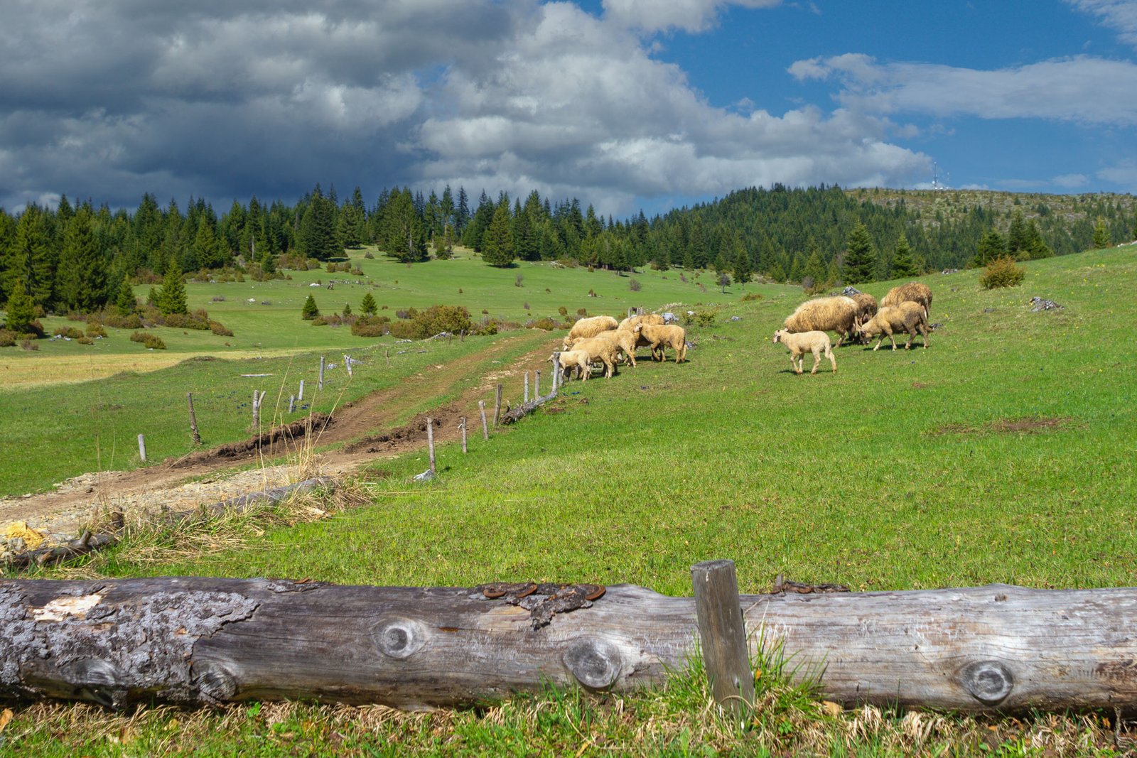
Cmiljevica mountain is situated on the border between Montenegro and Kosovo, between the towns of Berane and Rozaje and Rugova region on the east. A famous ski resort called Lokve is located on the slope of the mountain. The mountain is 1,963 meters high, it’s tame, with a lot of water, meadows and forests. The locals of several villages, which are a 2-hour-walk away, go up to the katuns of Cmiljevica. These households are mostly engaged in cattle breeding, but they also grow vegetables. Cmiljevica is great for growing potato. There are two eco katuns on the mountain, where you can enjoy the scenery and delicacies of the area.
Turjak
Turjak mountain, 1,500 meters high, is one of the fairest mountains in the area of the municipality of Rožaje. It is covered in varied conifer forests, it abounds in streams and heaths, with plenty of snow and a large number of sunny days. Turjak is the home of many endemic plants and of some rare animal species for this region, such as bear, deer, wild boar, marten and one species of chamois.
Moravac
Moravac mountain envelopes the border zone between Bihor, Korita and Pešter. It has some characteristics of a highland, with several ridges higher than 1,500 meters and which is divided by deep river canyons, Lim tributaries, especially towards the south. In the north-east, Moravac gradually diverges towards Pešter highland. Between its gentle ridges, there are several plateaus and fields (grazing places, in fact, ‘mountains’ in cattle breeding sense), such as: Lađevac, Gutavice, Krivalića field, Kožarevo field, Kruščička mountain, Čiste meadows, and so on. People from Bihor region often call this mountain area Lađevac, as well as Moravac, after one of the larger plateaus.
Mokra gora
Mokra gora belongs to Prokletije Mountain range. Different landforms of karst relief dominate here: limestone pavement, sinkholes, pits, caves. Flora and fauna are also very ample.