- /
- Katun Road Pešter Pastures
- /
- Pešter Highland
Pešter Highland
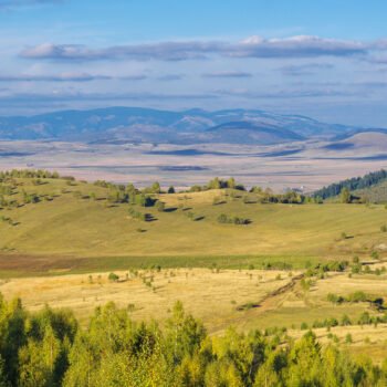
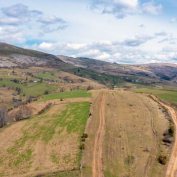
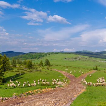
Pešter highland is a strange stretch of land. No trees, no sounds, seemingly a monotonous scenery, almost desert- like. The difference is that the dunes are masked with law grass. However, a drive through this area is a special, exciting experience. Highlands are not empty spaces. They hide and reveal some new dimensions, spatial as well as time-related.
Pešter highland is the largest one in the Balkans and one of the largest in Europe. Situated at the altitude of 1,150 meters, its surface being 63 km², this plateau is a unique area, it cannot be compared to anything else. An endless pasture located at the territories of Montenegro, Serbia and Kosovo.
In the near geological past, this plateau was a lake. Only a small wetland close to Tuzinje is what was left of the lake, and it is the source of the highest quality peat in Europe.
The relief of the plateau, mostly karst, is made of many, typically karst shapes: sinkholes, ravines, pits, caves, sinking rivers.
Hence, the name of the highland: peštera is the old Slav word for a cave. More than a hundred speleological objects are registered at the territory of Bijelo Polje only.
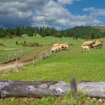
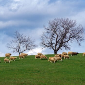
People living in the towns of Rožaje, Petnjica, Berane and Bijelo Polje, and in the villages spread around larger and smaller rivers, Lim tributaries, are the ones gravitating towards Pešter, and the borders of Kosovo and Serbia. This plateau has always been a distinct cattle breeding area, and so Pešter, with its endless grass carpet, is suitable for summer grazing and katun way of life.
Climate
With the exception of a couple of summer months, Pešter is a harsh (Siberian) plateau where winds and storms run wild, with nothing to protect it. During the winter, temperatures here go down up to minus 30, sometimes even up to minus 40. And the winter here can be rather long and snowy. Some of the villages are cut off from the rest of the world for months.
Thus, Pešter has a distinct temperate continental climate. This phenomenon of coldness can be explained by the position and relief of the highland. Cold air descends from the surrounding mountains and accumulates in the Sjenica valley and on Pešter plateau, and then a temperature inversion occurs and it leads to extremely low temperatures in the fields and somewhat higher on the surrounding mountains.
Some ten kilometers away from the border of Montenegro, along the edge of Pešter, a place called Karajukića Bunari is situated, and this place is the coldest one in former Yugoslavia, the lowest temperature of – 39.8 degrees was measured there in January, 2005.


